History Into the desert
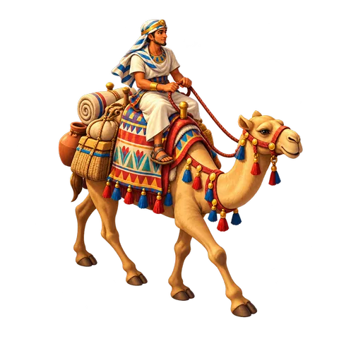
The deserts on either side of the Nile held things Egypt needed: copper and turquoise in Sinai, gold and hard stone in the eastern desert. Kings sent expeditions of hundreds or even thousands of people, with donkeys carrying water and food. They dug wells, camped at night and carved their names on rocks along the way.
History The land of Punt
Around 1470 BC, Queen Hatshepsut sent ships down the Red Sea to the land of Punt, probably on the coast of East Africa. Carvings at her temple at Deir el-Bahari show the travelers bringing home incense trees, ebony, gold and baboons.
History The oldest map
The desert routes were known well enough to be drawn. The Turin Papyrus Map, made around 1160 BC for an expedition of King Ramesses IV, shows a desert valley with its roads, hills, a gold mine, the miners' houses and a quarry of fine dark stone. It is the oldest known geological map, and it is kept today in the Egyptian Museum in Turin, Italy.
Art In this artwork
The illustration shows a striped canopy over cushions and rugs around a small fire. Travelers' camps were usually much simpler, but tents do appear in pictures of Egyptian army camps.
Look closer
- Find the fire in the middle.
- Where would travelers sleep?
Think about it
- What would you need for a long journey across a desert?
- Why might a country send people so far for stone and metal?
- How do people travel to remote places today?
Key words
- Expedition
- A long journey made for a purpose.
- Oasis
- A green place in a desert, with water.
- Turquoise
- A blue-green stone used in jewelry.
Sources
The history on this page is a short summary based on these sources:
- Encyclopaedia Britannica, "Punt"
- Encyclopaedia Britannica, "Hatshepsut"
- Museo Egizio, Turin, the Turin Papyrus Map (about 1160 BC)
- Ian Shaw (editor), The Oxford History of Ancient Egypt (2000)